Home
• About Us • Public
Library • School District • Events
• History • Directions
• Photos • Contact
Us
Government • Attractions
• Organizations • Environment
• Weather
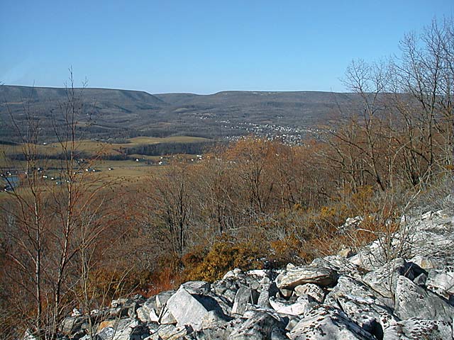
Looking north, this photo was taken in early December 2000 from about 1/3 up the powerline on Brush Mountain. The cluster of white objects just right of center is the town of Bellwood, with old Route 220 visible as a thin line heading off to the left of the image behind the nearby saplings. Interstate 99 runs at the base of the mountain, but is obscured by the treeline. The horizon is formed by the eastern edge of the Allegheny Plateau, known as the Allegheny Front. Bells Gap is just left of center, and can be seen closer up by clicking here.